• Village boundaries on Izumo-no-kuni jūgun bunzu Izumo-gun 雲国十郡分図 出雲郡 (1821)

  • Genroku gōchou 元禄郷帳 (ca. 1700-1702), a list of villages and their assessed productivity by district

  • Village boundaries on Chiba-ken kannai zenzu 千葉県管内全図 (1883)

  • Village boundaries on a topographical survey map

  • A neural net recognizes village boundaries on a topographical survey map.

  • Manual review corrects and completes the neural net output

  • Village centers color-coded by district, 1868

  • Village boundaries with village centers in green. Completed polygons in white, shaded areas require further work

  • Village locations on Genroku kuni-ezu 元禄国絵図 for Kawachi 河内国 (copy of a ca. 1702 map)

  • Inō Tadataka's map (1800-1816) overlayed with modern shapefiles for village locations, coastlines, and roads created by Murayama Yūji and his team (Dejitaru Inō-zu デジタル伊能図, 2015)

Welcome

Part of the Council of East Asian Studies at the MacMillan Center, the Digital Tokugawa Lab is a group of scholars working on digital humanities projects with a focus on pre-modern Japan. Inspired by the idea that some forms of knowledge production require a range of expertise and a scale of labor that cannot be covered by a single individual, the lab was established in fall 2019 by Fabian Drixler and has four other full-time lab members.

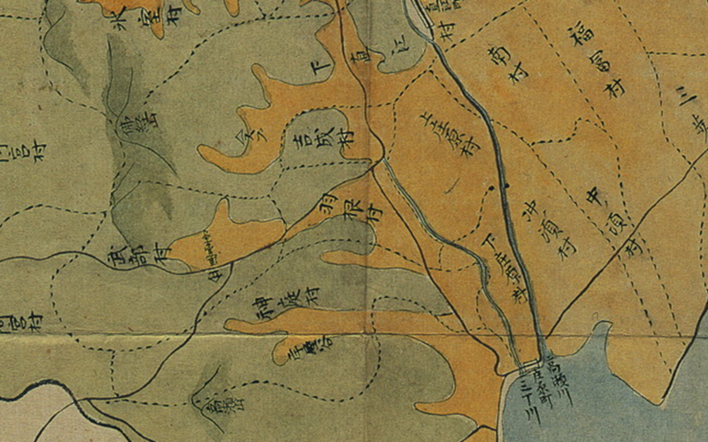
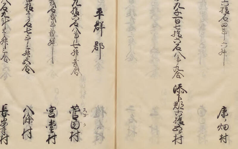
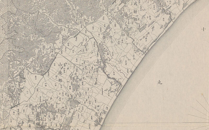
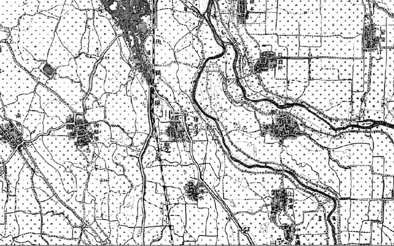
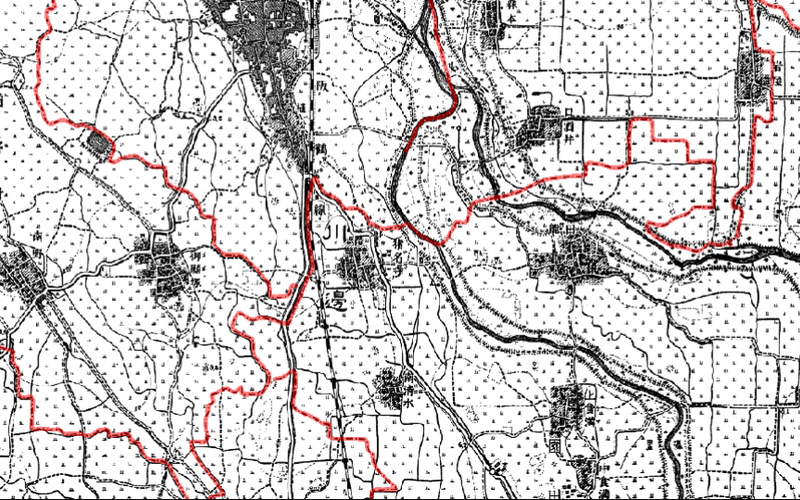
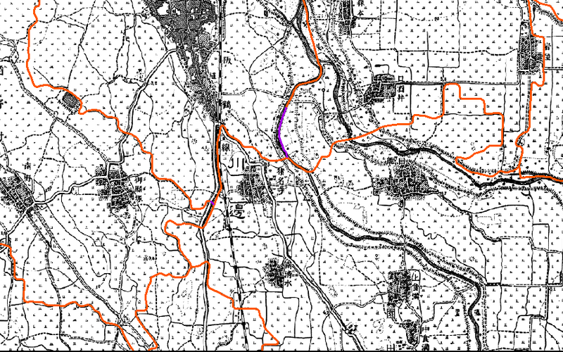
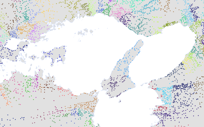
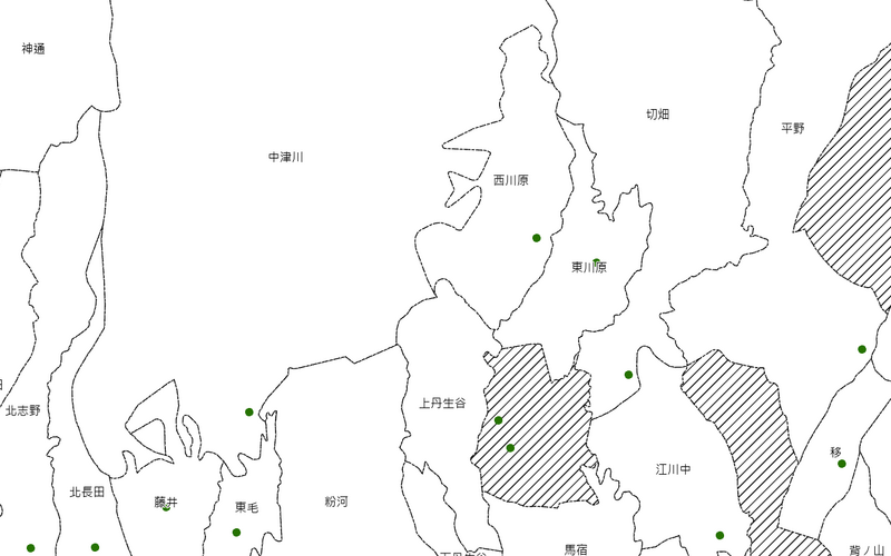
For details on our inaugural project, please see Digital Atlas of Tokugawa Japan.